Drone Pilot serving Rockhampton & Surrounds
Drone Photography and Videography in Rockhampton
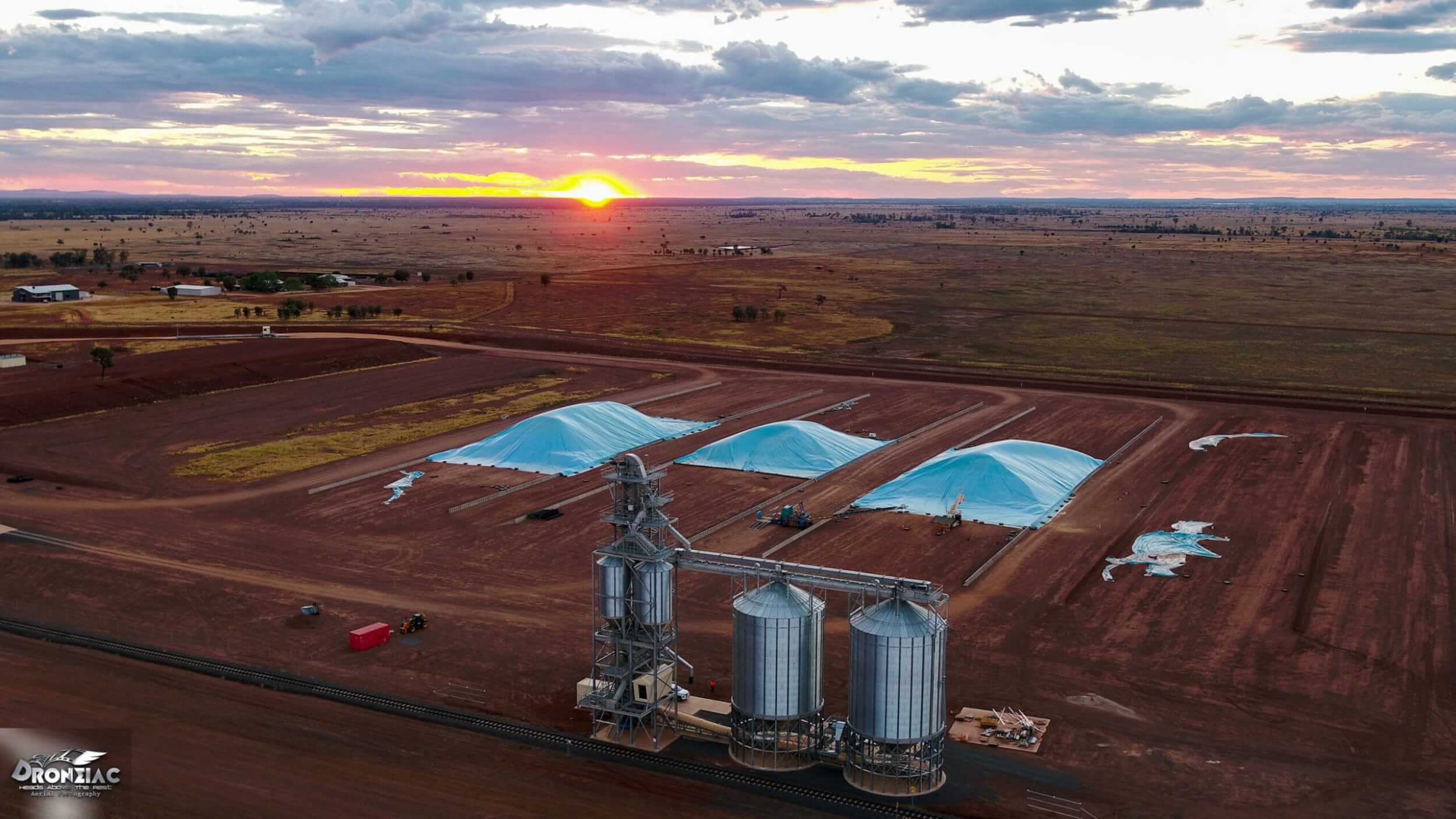
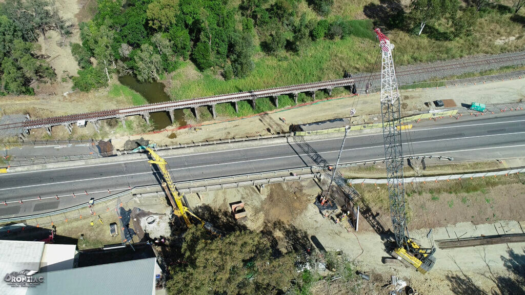
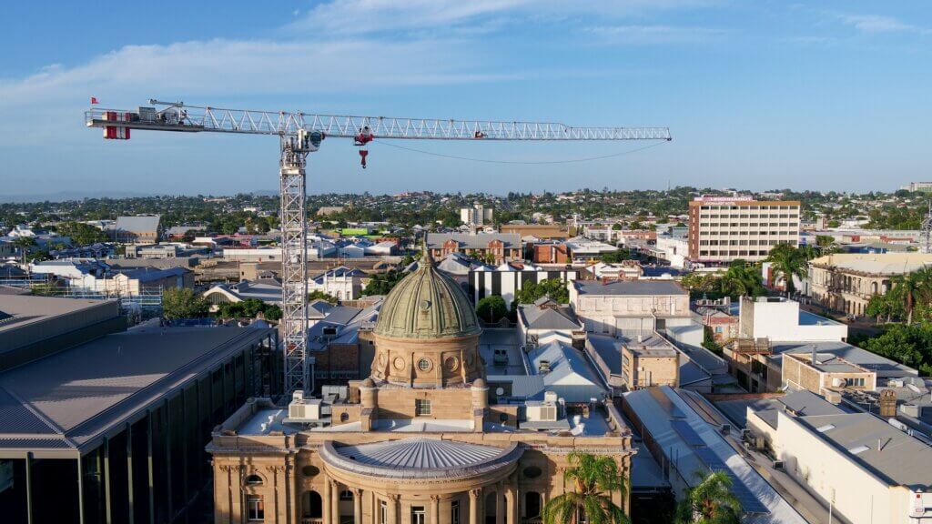
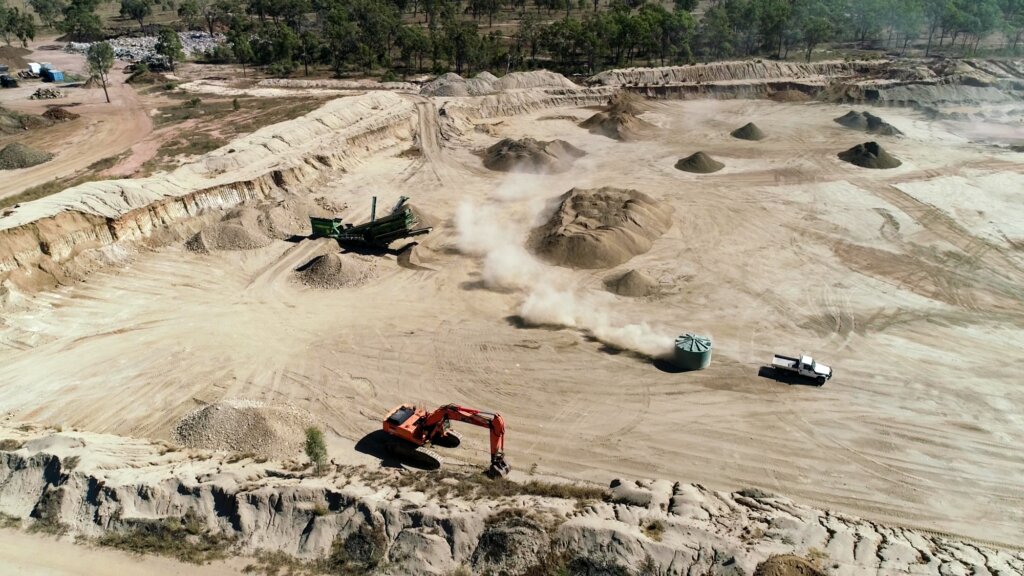
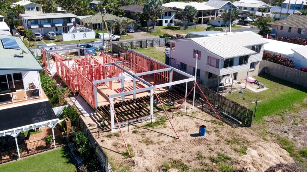
In Rockhampton, drone photography and videography are being used in a variety of applications, including industrial maintenance inspections, portfolio assets for building and construction industries, and progress reporting for building and construction industries.
One of the key advantages of using drones for these purposes is their ability to quickly and easily capture high-resolution images and video. A drone can fly over an industrial site or construction project and capture detailed footage that can be used for a variety of purposes. For example, an industrial maintenance team could use a drone to inspect a piece of equipment or a structure, allowing them to identify potential problems and take action to prevent them.
Another benefit of using drones for industrial inspections is their ability to access areas that would be difficult or impossible for a human to reach. A drone can fly over a building or other structure, allowing the inspection team to get a detailed view of the area. This can be especially useful for inspecting hard-to-reach areas, such as the roof of a building or the inside of a large tank.
In the building and construction industries, drone photography and videography are being used to create portfolio assets and progress reports. For example, a construction company could use a drone to capture aerial footage of a project, which could then be used to create an attractive portfolio of their work. This can be a valuable marketing tool, allowing the company to showcase their skills and expertise to potential clients.
In addition to these practical applications, drone photography and videography are also being used for more creative purposes in Rockhampton. For example, some photographers and videographers are using drones to capture unique and artistic shots, such as sweeping aerial panoramas or slow-motion footage of objects in motion. This allows for a level of creativity and flexibility that was previously impossible with traditional photography and videography techniques.
Overall, drone photography and videography are becoming increasingly popular in Rockhampton, thanks to their ability to quickly and easily capture high-quality aerial footage. Their versatility and flexibility make them valuable tools for a wide range of industries and applications.
Aerial 3D mapping in the Rockhampton area
Aerial 3D mapping is a technique that uses drones to create detailed three-dimensional models of an area. In Rockhampton, this technology is being used in a variety of applications, from surveying land for development to creating detailed maps of historical sites.
One of the key benefits of using drones for 3D mapping is their ability to access areas that would be difficult or impossible for a human to reach. For example, a drone can easily fly over a rugged terrain or an industrial site to capture high-resolution images that can be used to create a detailed map. This can be especially useful for surveying land for development or monitoring the progress of a construction project.
Another advantage of aerial 3D mapping with drones is the speed and efficiency of the process. Using specialized software, a drone can quickly and easily capture hundreds or even thousands of images, which can then be stitched together to create a detailed map. This allows for much more efficient data collection than traditional surveying methods, which can be time-consuming and labor-intensive.
In addition to their practical applications, drones are also being used for more creative purposes in Rockhampton. For example, some local historians are using aerial 3D mapping to create detailed models of historical sites, such as old fortresses or abandoned mines. These models can be used for educational purposes, or simply to preserve a record of the area’s rich history.
Overall, aerial 3D mapping with drones is a powerful and versatile technology that is being used in a variety of applications in Rockhampton. Its ability to quickly and easily capture detailed data makes it a valuable tool for developers, surveyors, and others who need accurate information about an area.
CQ’s fastest turnaround times on professional drone photography & videography
Get a fixed-price quote from an experienced operator – no surprises, no fuss.