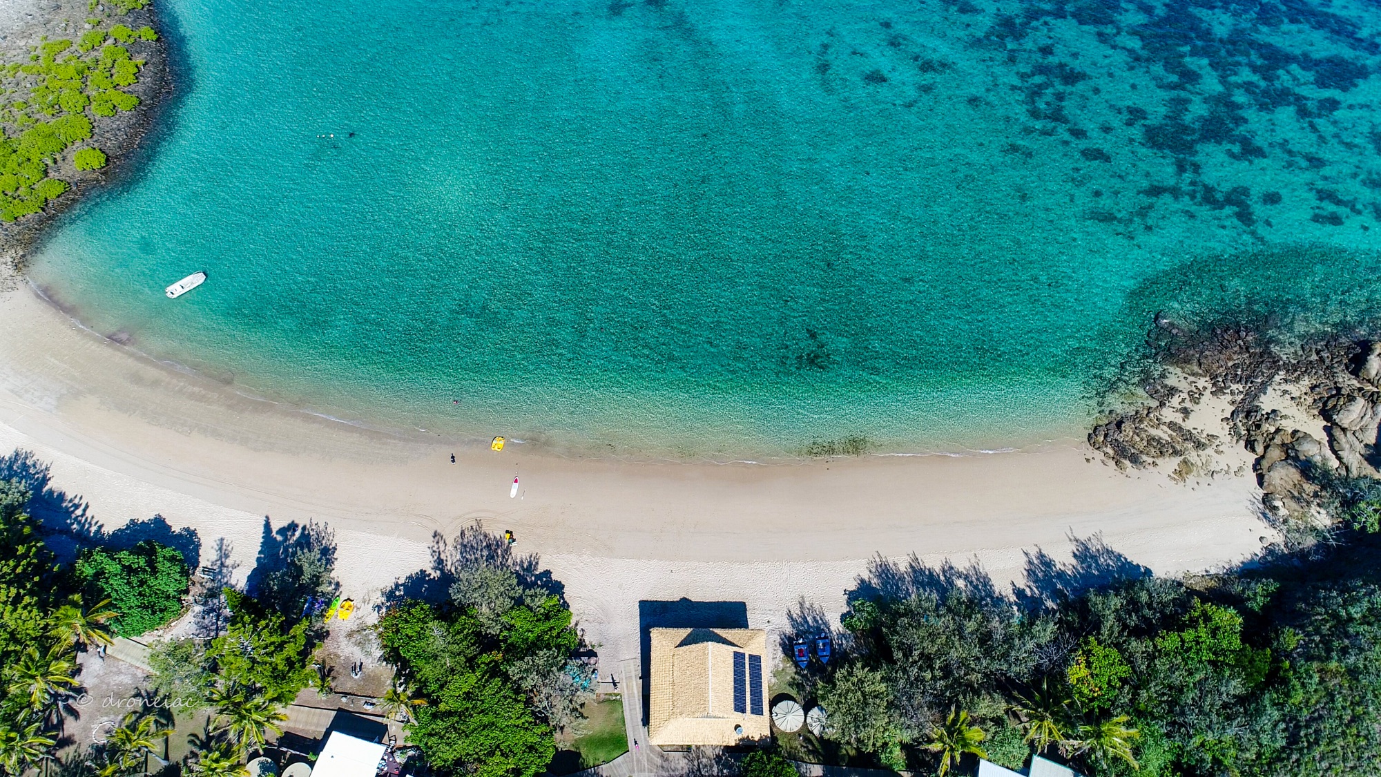
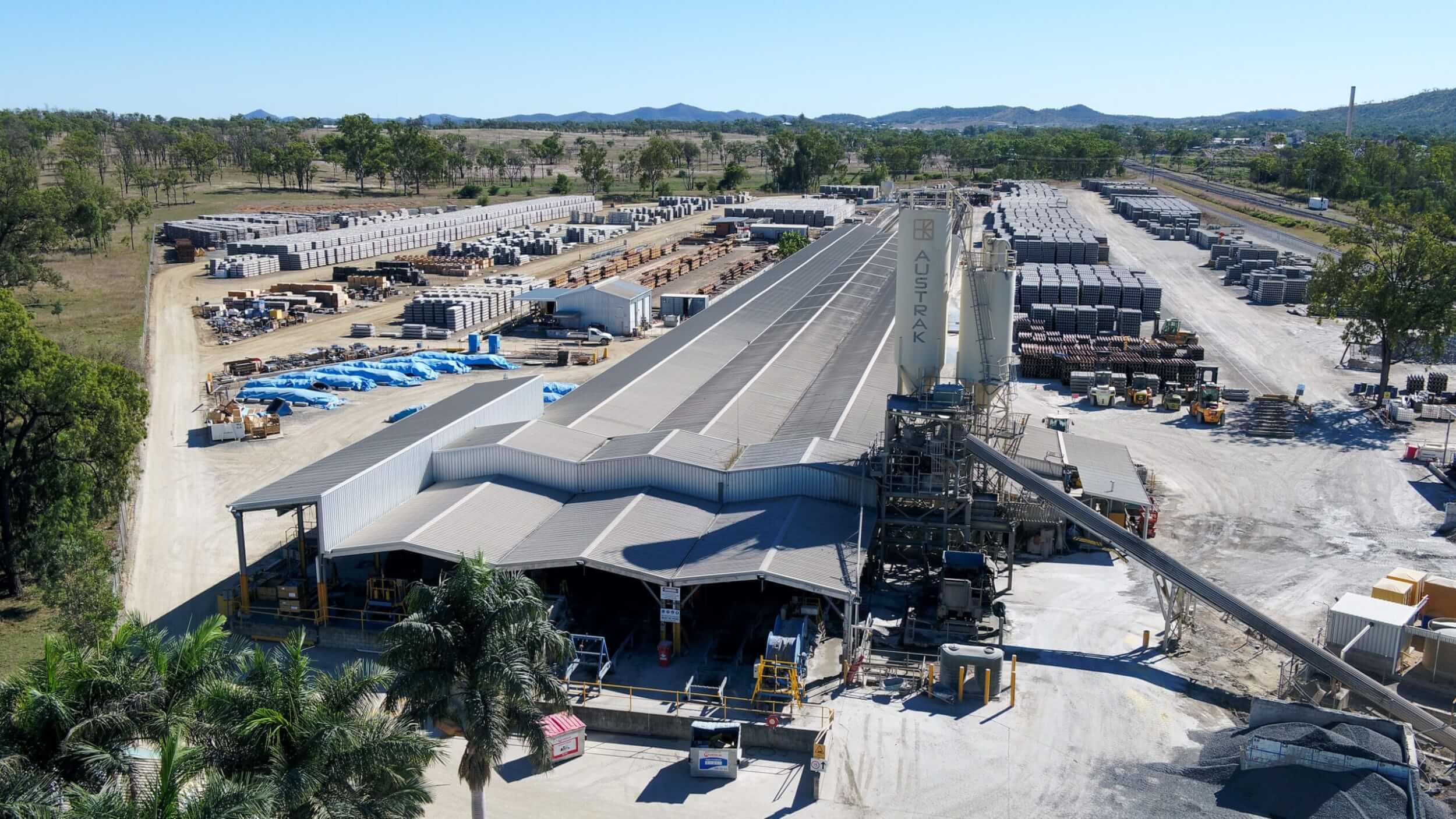
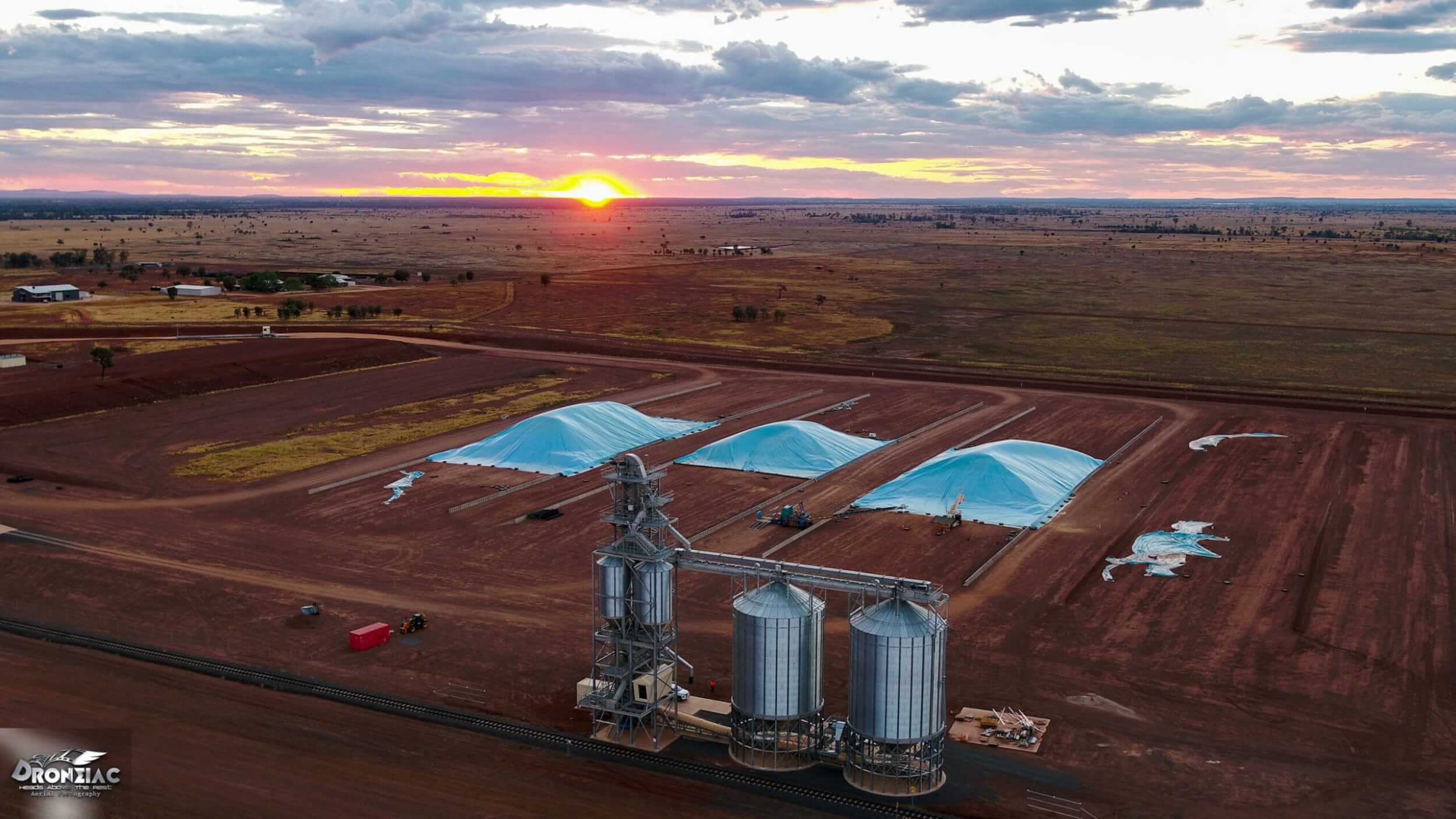
Services
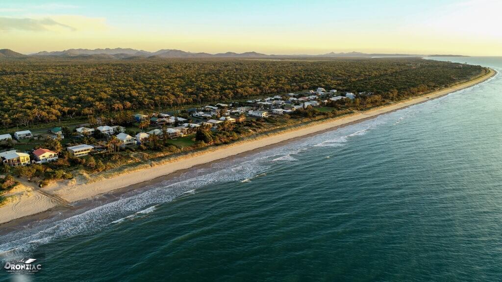
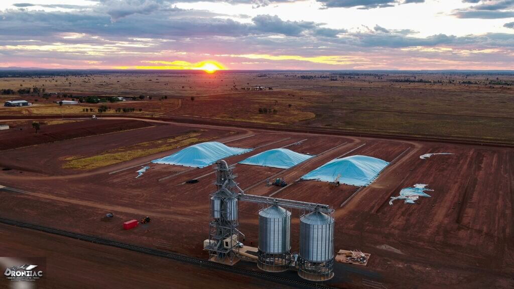
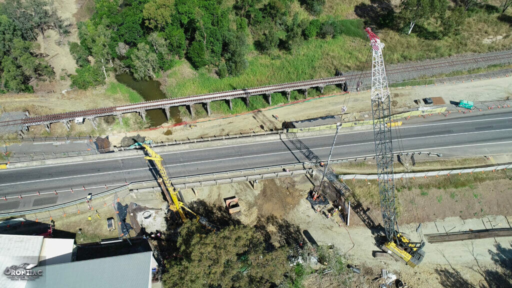
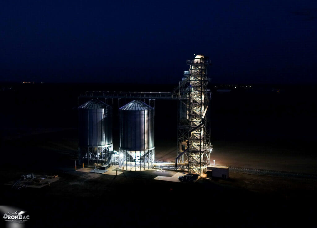
Drone Photography and Videography
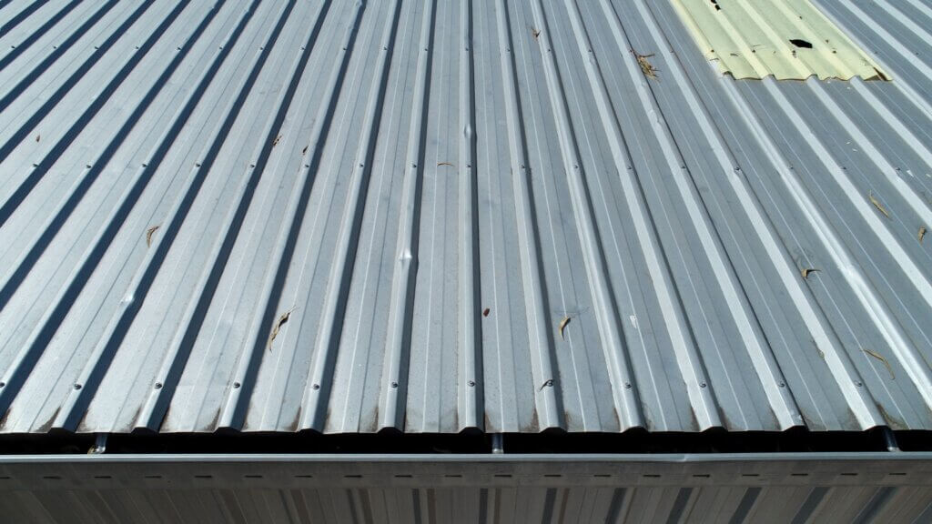
- Industrial maintenance inspections
- Portfolio assets for building & construction industries
- Progress reporting for building & construction industries
- Events and tourism

Aerial 3D Mapping
Drones are becoming a popular tool in the 3D Mapping/ Surveying area.
The method by which this is done is orthomosaics – the drone captures numerous images of an area, these images are then stitched together to form a plan view of the property.
Accurate measurements can then be taken from the map & quantities calculated.
3D models can also be generated.
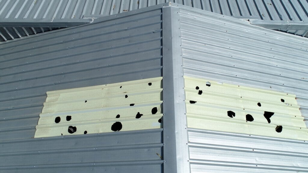
Asset Inspections
The use of drones to inspect assets mitigates risk & is also faster than conventional methods, making them a more cost effective way to inspect the asset & identify any maintenance issues.
CQ’s fastest turnaround times on professional drone photography & videography
Get a fixed-price quote from an experienced operator – no surprises, no fuss.